Our Research
Healthy Cities
Nature and Urban Health
Read More
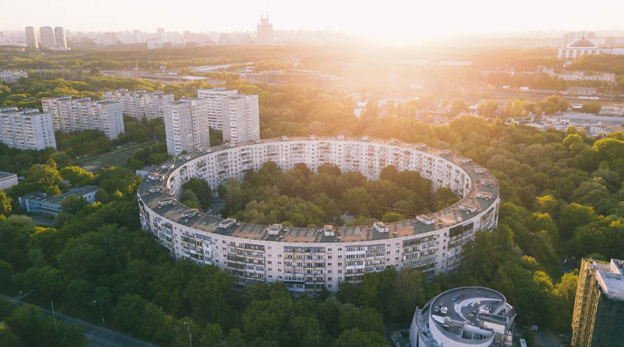
Increasingly, health geographers, psychologists and public health practitioners have become interested in aspects of cities which may promote both physical and mental health. A growing area of research is how 'green' spaces such as parks, forests, and meadows may foster physical activity, lower blood pressure and promote relaxation, improved cognition and enhanced sleep. More recently, this focus has expanded to encompass 'blue' spaces including oceanic and fresh water bodies. Still, there are many gaps in the literature and inconsistencies in findings. The lab's previous and ongoing research aims to address these issues. For more details on current projects and findings, see LINK.
Neighborhoods and Health Inequalities
Read More
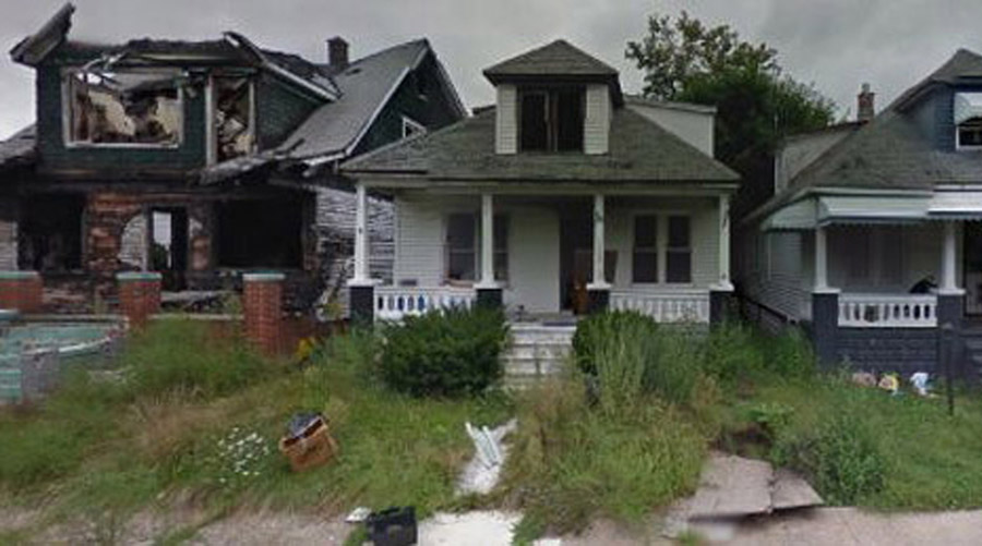
The SHAC lab contributes to our understanding of the relationships between neighborhood environments and health inequalities. We pay particular attention to inequalities in neighborhood exposures and how these (potentially amenable either through zoning policy or changes to the built environment) features may play a role in health inequalities, or may mirror social inequalities in society. We have examined features of the neighborhood that may promote health (e.g., fruit/vegetable consumption), or hinder health (e.g., tobacco retailers) in cities primarily in New Zealand and the USA. For more details on current projects and findings, see LINK.

GPS, Wearable Cameras and Novel Geospatial Techniques
Read More
The lab contributes to the development of novel GPS-based and other techniques to quantify mobility and exposures throughout every day, urban activities. Globally, over half of the population now lives in urban areas — and many are highly-dense cities. However, urban settings are a relatively new phenomenon in human history. At the same time, increasing generation of and access to large, geospatial and imagery data means that innovation in processing, analytics, and interpretation are needed to understand relationships with health. Some of these tools are openly available on our website: LINK.
Health Care Services in Michigan
Evaluating Michigan's Health Care Service Need
Read More
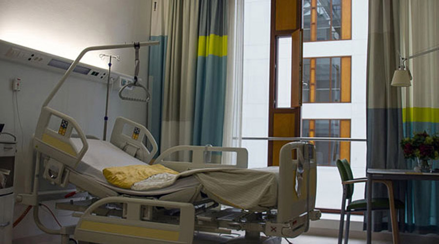
Health care services are a basic necessity for Michigan's citizens. Services range from hospital acute care to nursing homes to lithotripsy. Community need for these services varies from community to community across the state, and depends upon the people in each community. Places with many people generally have greater patient volume, but many other social and environmental factors are involved. Further, need can vary over time as conditions and health care methods change.
Michigan's Department of Health and Human Services (MDHHS) is responsible for managing hospitals as mandated by a Certificate of Need (CON) Commission, which is charged with maintaining cost, quality and access dimensions of heath care for the State's citizens. Regulation is achieved by determining the number of hospital beds for a range of designated services. This determination relies on important geographic properties: the locations and capacity of health facilities providing each service, the spatial distribution of patient demand for these services, and the geographic accessibility of the patient distribution to the facilities.
Hospitals are assigned to service areas based on the communities they serve. We assist the State's CON section in determining the best methodology for each standard, in actually running the methodology regularly to update projected need, and to consider a range of questions related to health care access.
Evaluating Michigan's Community Hospital Accessibility
Read More
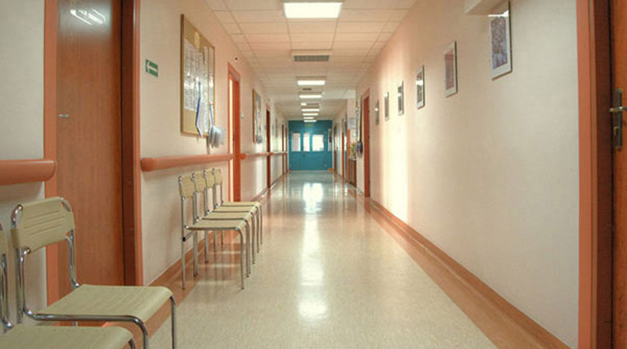
Since 2004 we have worked closely with the State of Michigan's Department of Health and Human Services (MDHHS) to address questions about geographic accessibility of Michigan citizens to health care, especially for services covered by Certificate of Need (CON). Two core objectives were set. First, CON personnel needed visualizations of the spatial pattern of Michigan's population, its hospitals, and its geographic distribution of covered health services. Second, CON required a clear, defensible assessment methodology to quantify geographic access to existing services statewide, taking into account factors such as distance to nearest hospital and road network density to estimate travel time.
We regularly produce maps of health care access, identify local and regional patterns in community utilization of different providers, and update access models based on the latest highway and facility data. An article in the International Journal of Health Geographics presents our efforts to first describe the distribution of Michigan's current community hospital pattern and its people, and second, develop two models, access-based and demand-based, to identify areas with inadequate access to existing hospitals.

Review of Distance Standards for Certificate of Need Applications
Read More
As part of our ongoing partnership with the State of Michigan, Department of Health and Human Services (MDHHS) Certificate of Need Program (CON), we calculate radial distances between existing and proposed locations for building and relocating health care facilities and services. The process of computing these radial distances incorporates several steps. First the existing and proposed location addresses are checked for errors and corrected. Second the addresses are geocoded. Due to inherent positional error in geocoding, estimated locations can be visually compared to online maps and aerial and satellite imagery. Third, spherical distances between locations is calculated. An online web-based Geocoder was developed and is maintained for this purpose.
Global Water Insecurity
Global Household Water Security
Read More
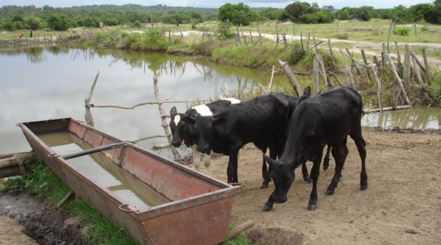
Water security research, even with its myriad conceptualizations, tends to focus on the lack of safe and adequate water, or water scarcity. The key parameters of water security are often defined as locational access to a water source or supply, quantity, quality, reliability/sustainability, time and affordability, as reflected in the Millennium Development Goals and the subsequent Sustainable Development Goal #6. However, there is inconsistency in measurement and many measures do not consider the experiences of households.
The lab contributes to a collaborative effort to develop a cross-cultural scale to assess household-level water insecurity that can be used across many ecological and geographic settings. The lab also contributes to understandings of the dynamic nature of water insecurity, its impacts on health and livelihoods and its political, environmental and social drivers, particularly in East Africa and Mexico. For more details on current projects, findings and the HWISE Research Coordinating Network, see LINK.
Geospatial Techniques to Quantify Water Insecurity
Read More
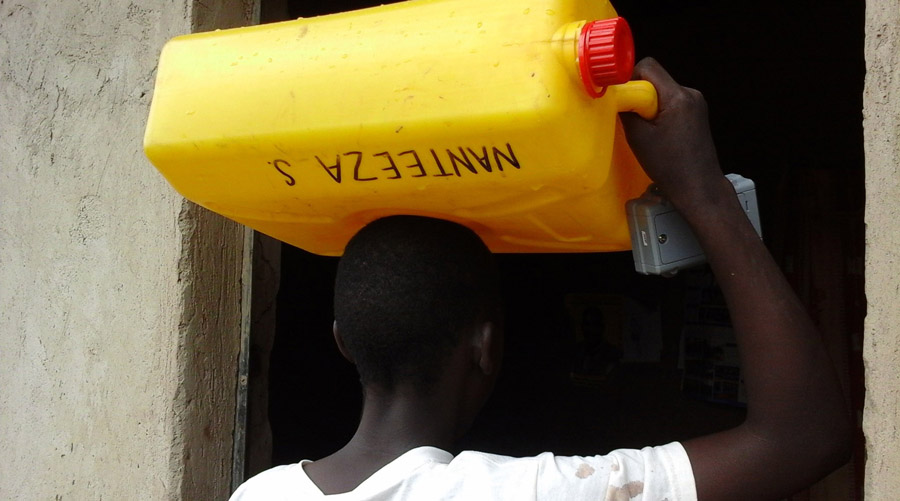
Knowing that many households invoke strategies to handle water insecurity and that these practices may change over time and space, the lab has been involved in the development of geospatial techniques to better measure dynamic water insecurity. For example, the lab has been involved in the development of GPS technologies to examine changes in water collection behaviors over a few days, rather than across season and to objectively measure behavior rather than using self-reported data. For more details on current projects and findings, see LINK.
Social Dimensions of Water
Read More
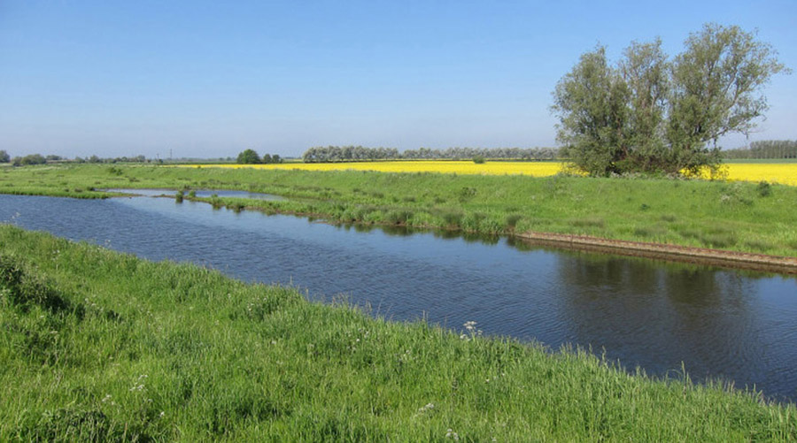
Precarity exists when people have little predictability in their day-to-day living conditions, including the water they need to survive and live a quality life. When power is uneven, or political will fails, or economic systems do not prioritize safe and accessible water, people live with, and through, precarity. Some policies may prioritize water for some groups and not others, or some livelihoods above others, which leads to increased inequality in multiple domains, including health. Households may use social processes including water sharing, as a culturally-embedded practice to protect households against water shortages and suffering. Yet, inter-household water sharing has rarely been examined. The lab contributes to our understanding of the myriad social dimensions of water. For more details on current projects and findings, see LINK.